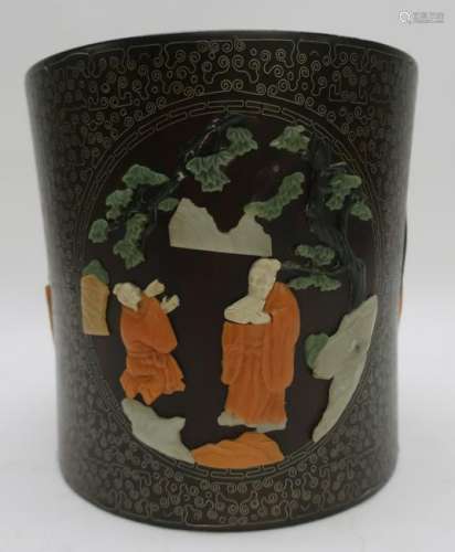
LOT 213 Matthaus Merian, China Map, c.1649
Viewed 198 Frequency
Pre-bid 0 Frequency
 Collect
Name
Size
Description
Translation provided by Youdao
Matthaus Merian, Swiss, 1593-1650, c.1649, China Veteribus Sinarum Regio nunc Incolis Tame dicta , map of China and Japan is closely modeled on Jansson's map of 1633. The detail includes the eastern part of China (bounded in the west by the Great Wall), Korea as a strangely shaped island, and the three main islands of Japan. Taiwan is named Pakan al I. Formosa, although Tayoan is named on the island. The imaginary Chiamay Lacus is located in the southern region with five rivers flowing south into India and Siam. A fine title cartouche flanked by Chinese figures, flourishing calligraphy, European and Chinese ships and a sea monster decorate the map. Note: Consignor purchase map in 2002 from Altfield Gallery in Hong Kong
10 1/2 x 13 1/2, framed 20 x 22
(JMAD10814)(MM)

Preview:
Address:
425 Bantam Road Litchfield, CT 06759 United States
Start time:

Online payment is available,
You will be qualified after paid the deposit!
Online payment is available for this session.
Bidding for buyers is available,
please call us for further information. Our hot line is400-010-3636 !
This session is a live auction,
available for online bidding and reserved bidding
LOT 1

LOT 2
LOT 3
LOT 4

LOT 5
LOT 6
LOT 7
LOT 8
LOT 9

LOT 10
LOT 11
LOT 12
LOT 13
LOT 14

LOT 15

LOT 16


在线客服

咨询热线

微信公众号


APP下载

顶部