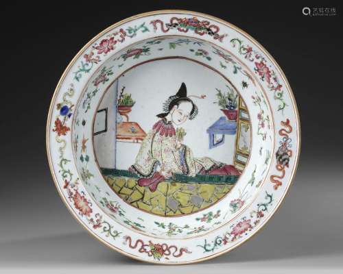
LOT 218 AL-IDRISI'S WORLD MAP IN NUZHAT AL-MUSHTAQ, 18TH CENTURY
Viewed 121 Frequency
Pre-bid 0 Frequency
 Collect
Name
Size
Description
Translation provided by Youdao
Watercolor on paper, depicting Al-Idrisi's world map, the names of the places, the rivers and the mountains in yellow, black and red ink. Note that south is at the top of the map. Diam.: 61 cm. CATALOGUE NOTE In the 12th century, scholar Al-Idrisi produced a map showing most of Europe, Asia, and North Africa for the first time. Al-Idrisi ranged widely, drawing on older knowledge and interviewing thousands of travelers to make his map the most accurate of its day. Muhammad ibn Muhammad al-Idrisi (circa 1100–66) was a 12th century geographer from al-Maghrib (North Africa). Born of noble lineage in Sabtah (the present-day Spanish enclave of Ceuta in Morocco), he studied in Cordoba. Al-Idrisi traveled extensively in the Mediterranean and Atlantic coastal regions, including North Africa, Spain, Anatolia, the northwestern coast of the Iberian Peninsula, and the coastline of France. Al-Idrisi gained the attention of Norman King Roger II (reigned 1130–54) of Sicily, who commissioned al-Idrisi to produce his masterpiece Nuzhat al-mushtaq fi ikhtiraq al-afaq, known as Tabula Rogeriana–the first descriptive geography of the world’s major population centers.

Preview:
Address:
Ridderstraat 13, 8051 EG in Hattem, The Netherlands
Start time:

Online payment is available,
You will be qualified after paid the deposit!
Online payment is available for this session.
Bidding for buyers is available,
please call us for further information. Our hot line is400-010-3636 !
This session is a live auction,
available for online bidding and reserved bidding
LOT 1
LOT 10

LOT 100
LOT 101
LOT 102

LOT 103

LOT 104
LOT 105

LOT 106

LOT 107

LOT 108
LOT 109
LOT 11
LOT 110
LOT 111
LOT 112


在线客服

咨询热线

微信公众号


APP下载

顶部